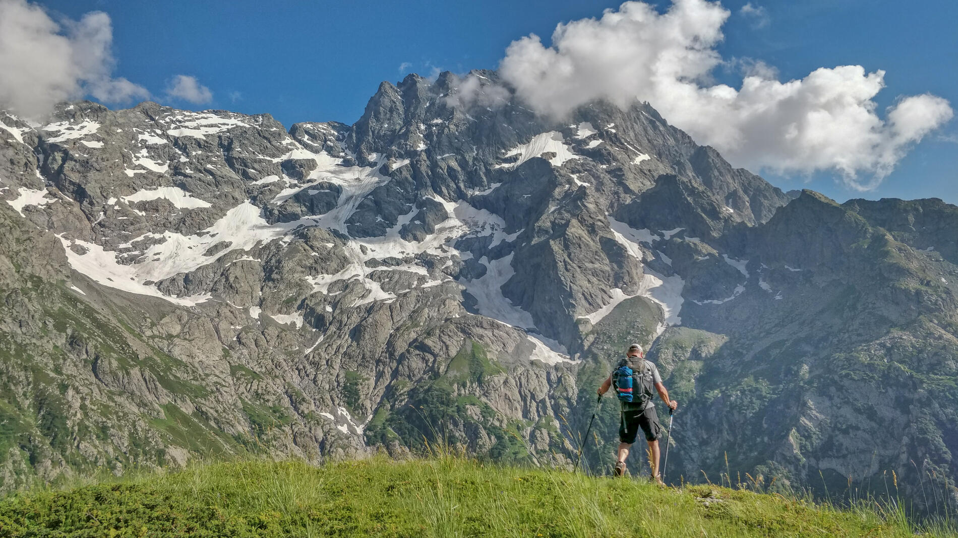
TRV Refuge du Pigeonnier > Refuge de Chabournéou
in La Chapelle-en-Valgaudémar
13.4
km
One-way
Walking/pedestrian
6h 30min
Hard
- Departure
- La Chapelle-en-Valgaudémar
-
-
Difference in height
- 832.667 m
-
-
-
Spoken languages
-
-
-
-
-
Documentation
- GPX / KML files allow you to export the trail of your hike to your GPS (or other navigation tool)
-
- 833 meters of difference in height
-
- Maximum altitude : 2415 m
- Minimum altitude : 1728 m
- Total positive elevation : 833 m
- Total negative elevation : -1235 m
- Max positive elevation : 406 m
- Min positive elevation : -662 m
