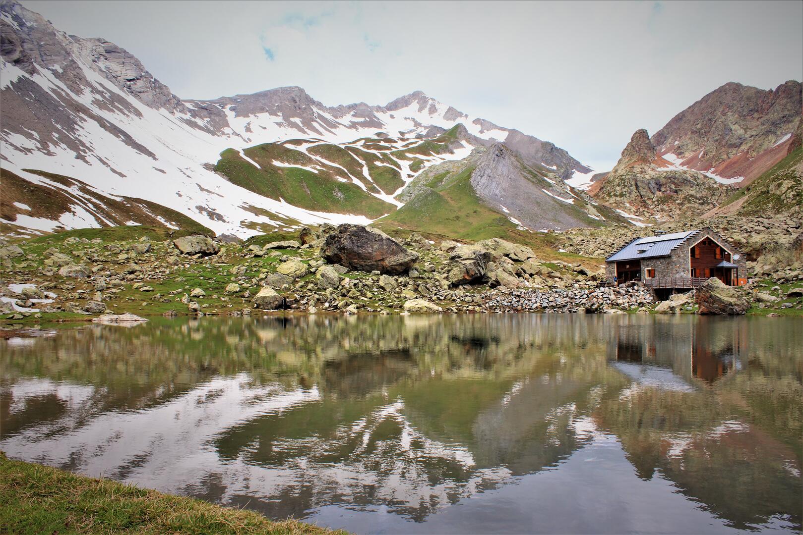
TRV Refuge de Chabournéou > Refuge de Vallonpierre
in La Chapelle-en-Valgaudémar
8.3
km
One-way
Walking/pedestrian
3h
Hard
- Departure
- La Chapelle-en-Valgaudémar
-
-
Difference in height
- 639.021 m
-
-
-
Spoken languages
-
-
-
-
-
Documentation
- GPX / KML files allow you to export the trail of your hike to your GPS (or other navigation tool)
-
- 639 meters of difference in height
-
- Maximum altitude : 2587 m
- Minimum altitude : 2012 m
- Total positive elevation : 639 m
- Total negative elevation : -383 m
- Max positive elevation : 191 m
- Min positive elevation : -319 m
