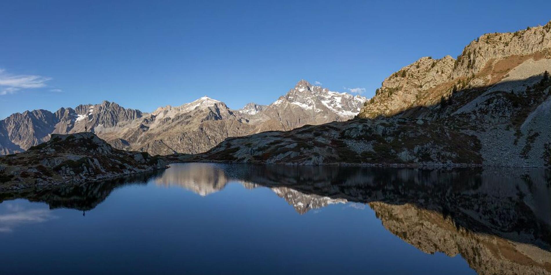
Tour des refuges en Valgaudemar en 3 jours, en Trail
in La Chapelle-en-Valgaudémar
153.6
km
One-way
- 12534 meters of difference in height
-
- Maximum altitude : 3419 m
- Minimum altitude : 994 m
- Total positive elevation : 12534 m
- Total negative elevation : -12409 m
- Max positive elevation : 2206 m
- Min positive elevation : -1337 m
