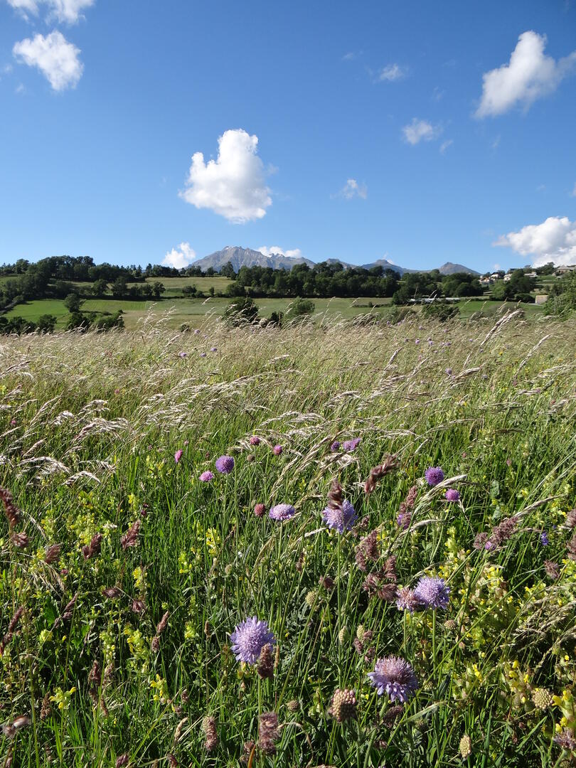
Puy de Manse depuis Ancelle
in Ancelle
16.4
km
Loop
Walking/pedestrian
4h
Medium
- Departure
- Ancelle
-
-
Difference in height
- 519.125 m
-
-
-
Spoken languages
-
-
-
-
-
Documentation
- GPX / KML files allow you to export the trail of your hike to your GPS (or other navigation tool)
-
- 519 meters of difference in height
-
- Maximum altitude : 1620 m
- Minimum altitude : 1276 m
- Total positive elevation : 519 m
- Total negative elevation : -518 m
- Max positive elevation : 127 m
- Min positive elevation : -135 m
