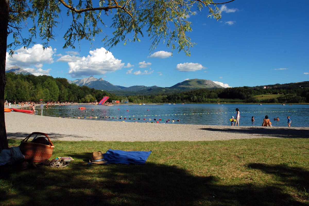

Plan d'eau du Champsaur n°5
in Saint-Bonnet-en-Champsaur
7.6
km
Loop
Mountain biking
1h
Very easy
- Departure
- Saint-Bonnet-en-Champsaur
-
-
Difference in height
- 119.333 m
-
-
-
Documentation
- GPX / KML files allow you to export the trail of your hike to your GPS (or other navigation tool)
-
- 119 meters of difference in height
-
- Maximum altitude : 1032 m
- Minimum altitude : 968 m
- Total positive elevation : 119 m
- Total negative elevation : -119 m
- Max positive elevation : 45 m
- Min positive elevation : -32 m
