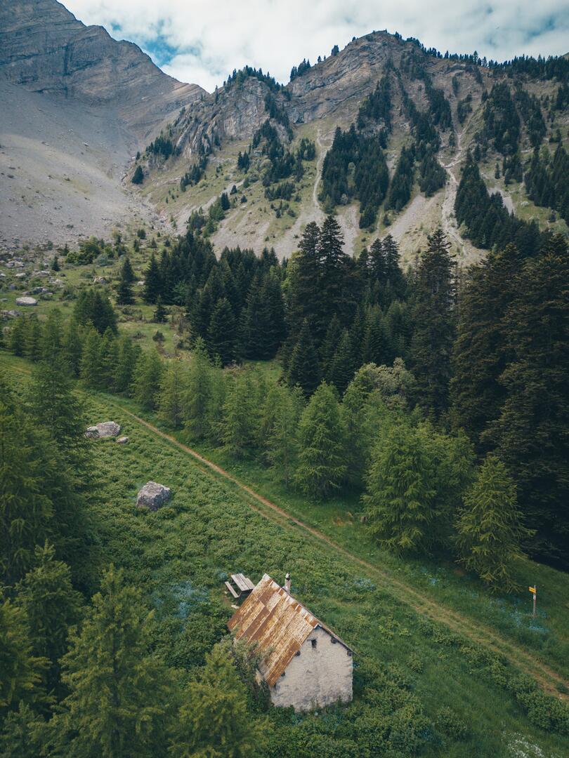
Parcours trail La cabane des pierres n°4
in Poligny
12.0
km
Loop
Trail
2h
Hard
- Departure
- Poligny
-
-
Difference in height
- 610 m
-
-
-
Plain text period
- All year round.
-
-
-
Spoken languages
-
-
-
-
-
Documentation
- GPX / KML files allow you to export the trail of your hike to your GPS (or other navigation tool)
-
- 610 meters of difference in height
-
- Maximum altitude : 1497 m
- Minimum altitude : 1060 m
- Total positive elevation : 610 m
- Total negative elevation : -616 m
- Max positive elevation : 263 m
- Min positive elevation : -361 m
