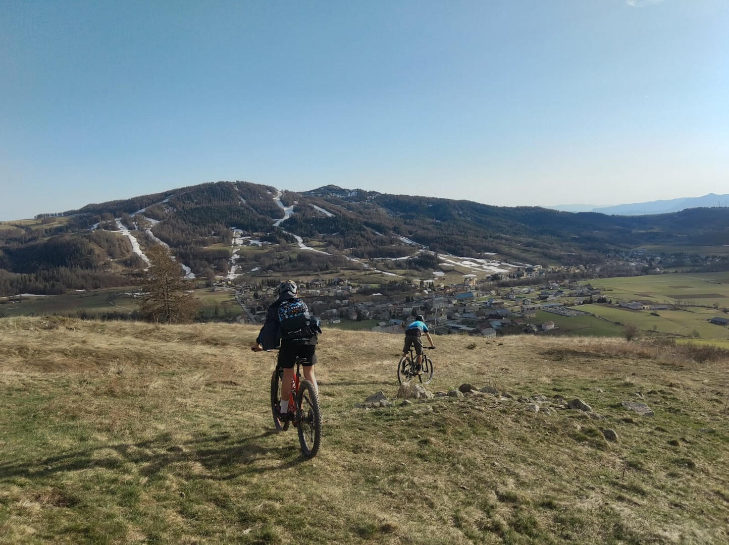
Libouse et la plaine d'Ancelle
in Ancelle
17.3
km
Loop
- Departure
- Ancelle
-
-
Difference in height
- 565.914 m
-
-
-
Spoken languages
-
-
-
-
-
Documentation
- GPX / KML files allow you to export the trail of your hike to your GPS (or other navigation tool)
-
- 566 meters of difference in height
-
- Maximum altitude : 1548 m
- Minimum altitude : 1171 m
- Total positive elevation : 566 m
- Total negative elevation : -566 m
- Max positive elevation : 368 m
- Min positive elevation : -301 m