Les Trois Serres
in Ancelle
5.0
km
Loop
Snowshoes
2h 30min
Medium
-
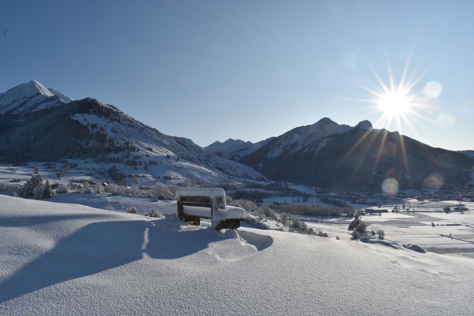
Same start as route no. 4. Go straight ahead on the main road and cross the main road. At the La Combe crossroads, turn right towards St-Hilaire. The landscape opens up to the west (Charance, Pic de Bure, Noyer, Dévoluy).
- Departure
- Ancelle
-
-
Difference in height
- 95.8795 m
-
-
-
Plain text period
- From 01/12 to 31/03.
-
-
-
Spoken languages
-
-
-
-
-
Documentation
- GPX / KML files allow you to export the trail of your hike to your GPS (or other navigation tool)
-
- 96 meters of difference in height
-
- Maximum altitude : 1415 m
- Minimum altitude : 1317 m
- Total positive elevation : 96 m
- Total negative elevation : -96 m
- Max positive elevation : 54 m
- Min positive elevation : -3 m
