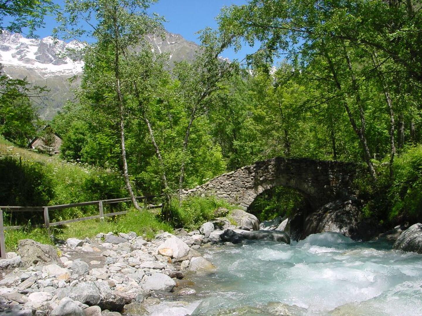
Les Oulles du Diable
in La Chapelle-en-Valgaudémar
5.1
km
Loop
-
A short introductory walk to see our natural heritage: Les Oulles du Diable!
-
Go up to the village of Les Portes, then make for Pont des Oulles and descend as far as the bridge. On the way back, follow the path along the right bank.
- Departure
- La Chapelle-en-Valgaudémar
-
-
Difference in height
- 366 m
-
-
-
Departure : La Chapelle-en-Valgaudemar.
From St Firmin, take the D985a as far as the village of La Chapelle-en-Valgaudemar.
Parking recommended : Church car park .
- 366 meters of difference in height
-
- Maximum altitude : 1321 m
- Minimum altitude : 1106 m
- Total positive elevation : 366 m
- Total negative elevation : -362 m
- Max positive elevation : 158 m
- Min positive elevation : -199 m
