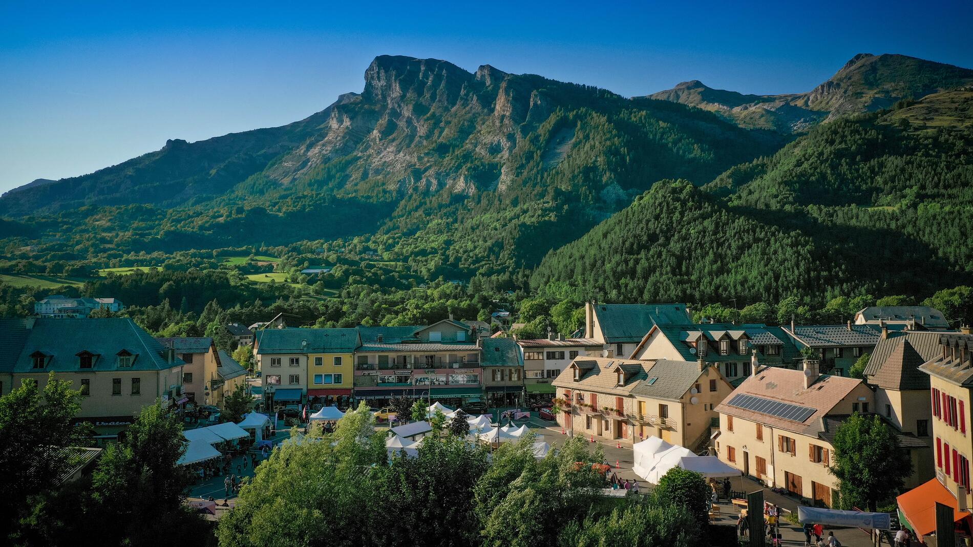

Le circuit de l'Adou
in Saint-Jean-Saint-Nicolas
1.1
km
Round-trip
Walking/pedestrian
45min
Very easy
- Departure
- Saint-Jean-Saint-Nicolas
-
-
Difference in height
- 12.0796 m
-
-
-
Spoken languages
-
-
-
-
-
Documentation
- GPX / KML files allow you to export the trail of your hike to your GPS (or other navigation tool)
-
- 12 meters of difference in height
-
- Maximum altitude : 1134 m
- Minimum altitude : 1125 m
- Total positive elevation : 12 m
- Total negative elevation : -12 m
- Max positive elevation : 7 m
- Min positive elevation : -5 m
