See photos (3)

La boucle de Tirière

in La Chapelle-en-Valgaudémar
15.4 km
Loop
Walking/pedestrian
3h 30min
Quite difficult
  • This circuit will take you to the Tirière plateau, a pretty, alpine pasture zone with stunning views of the valley and the surrounding summits.

  • In the summer, an early start means you will be able to witness the wakening of daytime animals. Birdsong, that is quite reserved at dawn, becomes more intense as the sun rises. Sometimes, as you climb up, a misty haze makes the larch trees look ghost-like. The outstanding landscapes from the plateau onwards, change from one moment to the next. The Sirac and the Rouies come out of the shade and become red, pink or even golden, depending on the light in the sky.
  • Tips
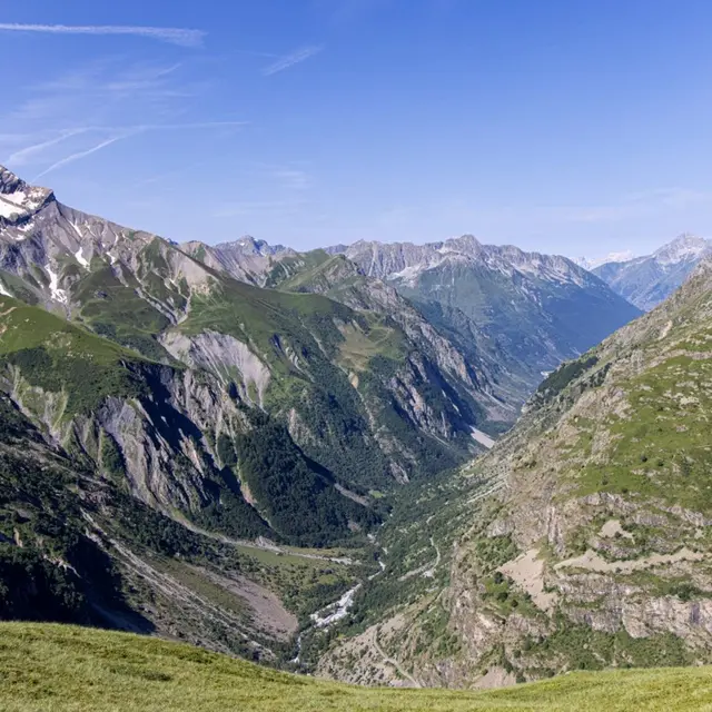
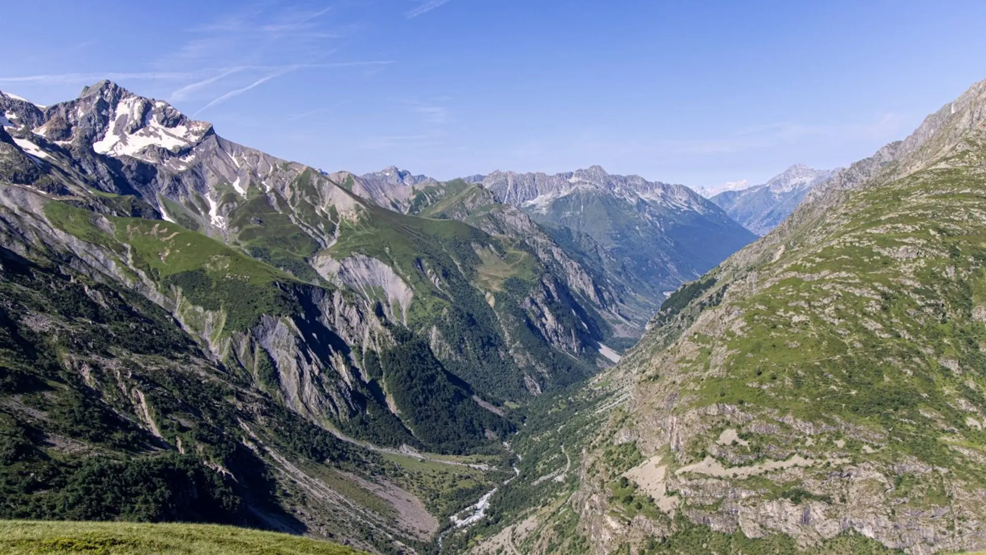
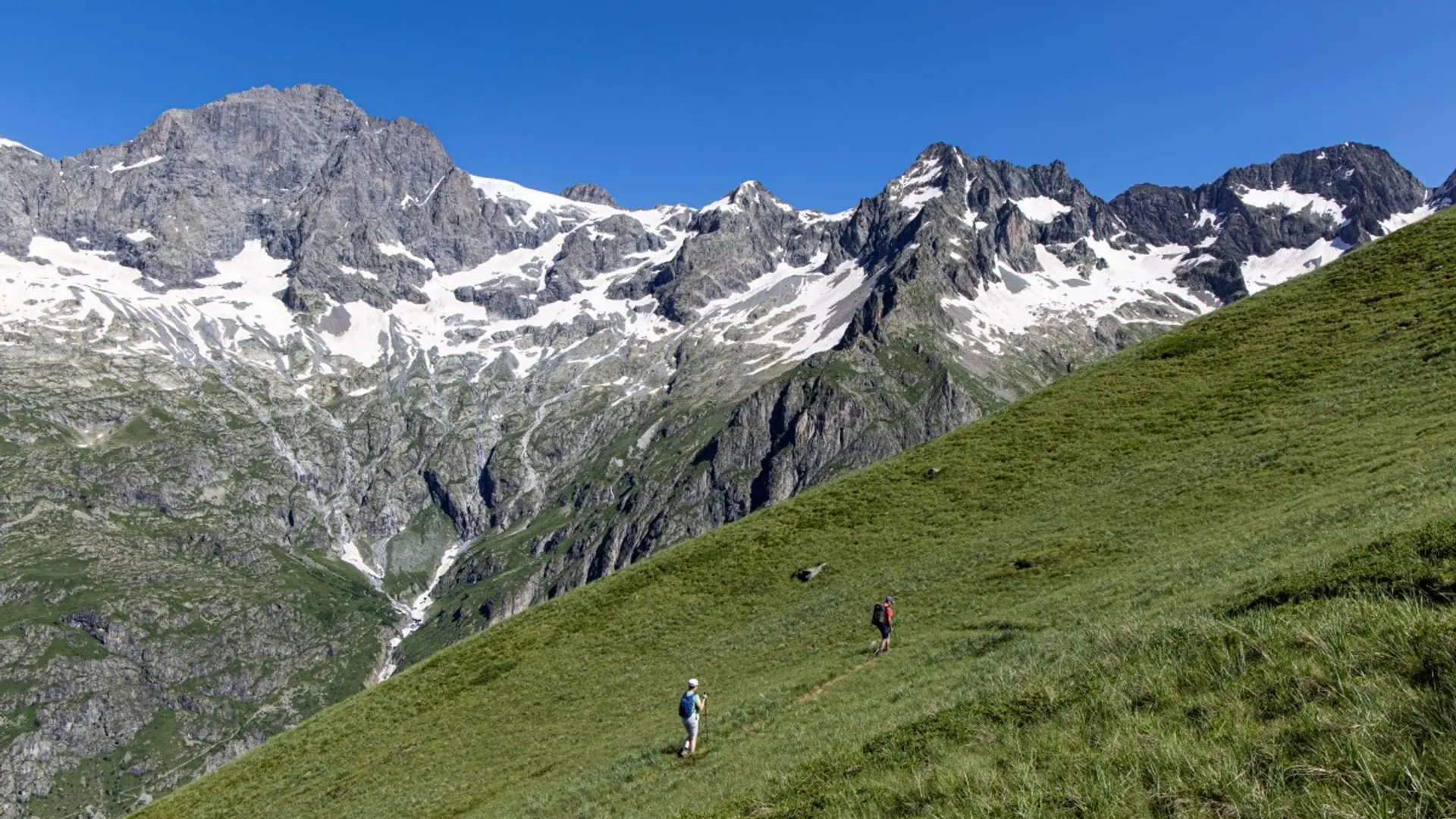
    Before you reach the Tirière plateau be sure not to take the old mining path (high and dangerous), but follow the route indicated. After the Tirière mountain hut, be careful on the first part of the descent, particularly in wet conditions. At the Gioberney mountain hut, please respect the shepherd's peace and quiet.

    Is in the midst of the park : The national park is an unrestricted natural area but subjected to regulations which must be known by all visitors.
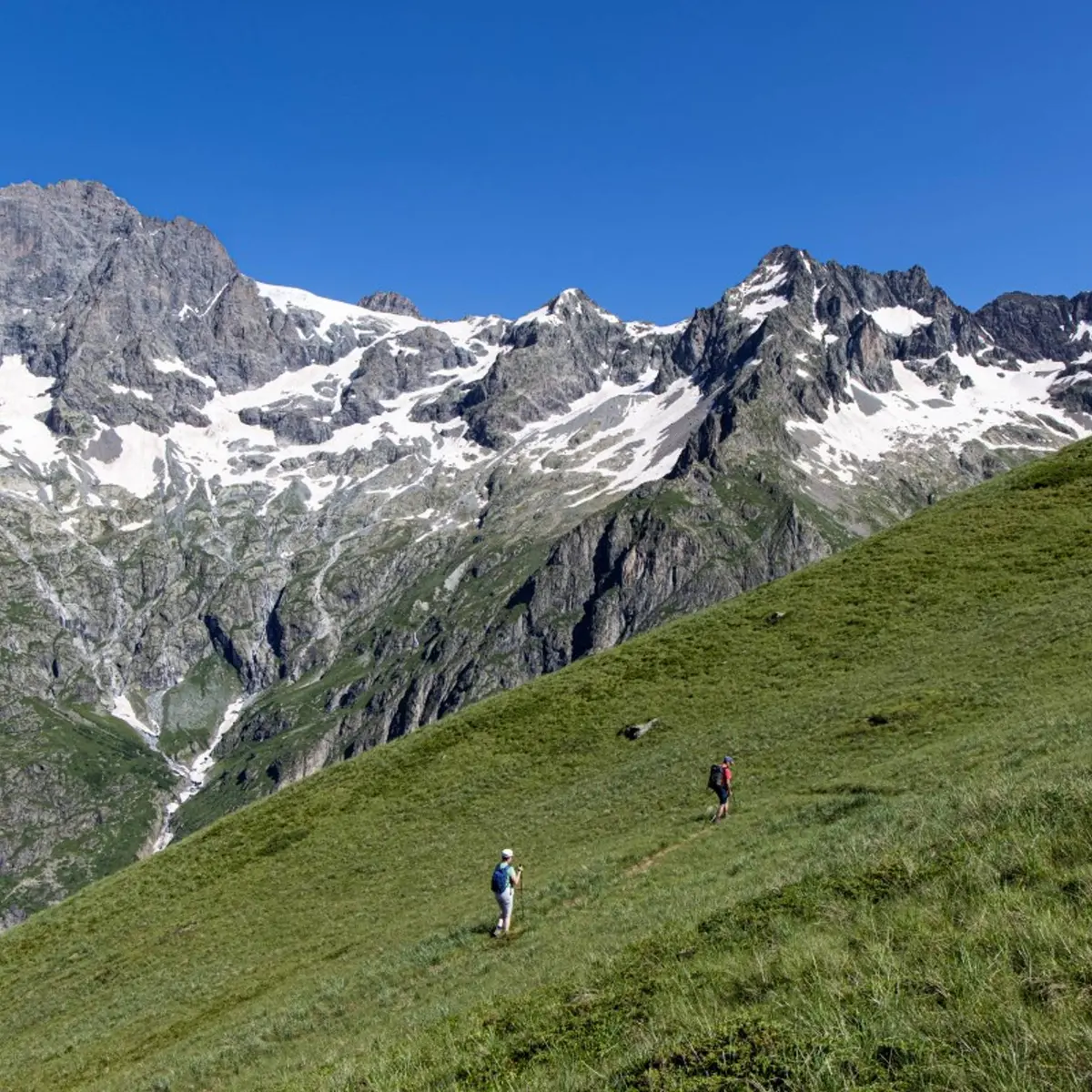
    Herd protection dogs : In mountain pastures, protection dogs are there to protect the herds from predators (wolves, etc.).When I hike I adapt my behavior by going around the herd and pausing for the dog to identify me.Find out more about the actions to adopt with the article "Protection dogs: a context and actions to adopt".Tell us about your meeting by answering this survey.
  • Departure
    La Chapelle-en-Valgaudémar
  • Difference in height
    1222.6 m
  • Departure : Gioberney.
    Road access : From the N85 at Saint Firmin, take the D58 and the D958a as far as La Chapelle en Valgaudemar. Then take the D480t as far as the Gioberney car park. .
    Parking recommended : Chalet du Gioberney car park. .
    Public transport : Shuttle from Saint Firmin during the summer (it is necessary to reserve 36 hours in advance at voyageurs05 or by calling 04 92 502 505). Connect with buses coming from Gap or Grenoble. .
  • Documentation
    GPX / KML files allow you to export the trail of your hike to your GPS (or other navigation tool)
1223 meters of difference in height
  • Maximum altitude : 2204 m
  • Minimum altitude : 1558 m
  • Total positive elevation : 1223 m
  • Total negative elevation : -1226 m
  • Max positive elevation : 568 m
  • Min positive elevation : -600 m